
Home » Mapotic blog » Community maps helping in the COVID pandemic
Our interactive maps can serve to connect people with a common purpose in many different fields of activity. Many maps created on Mapotic also aimed at helping in the #COVID-19 pandemic. We decided to look back at some of the most popular maps that have been created to support the fight against this pandemic.
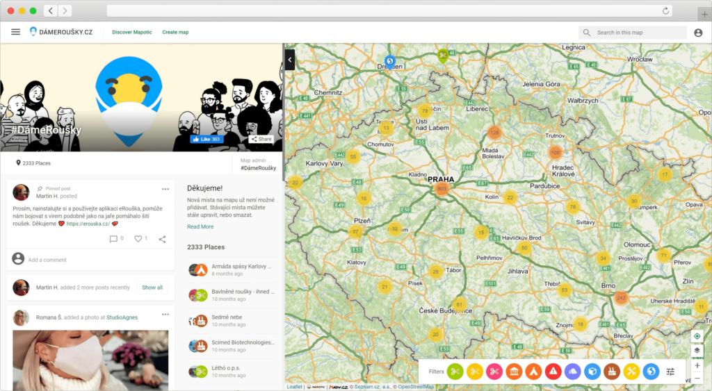
The largest project was initiated by a group of IT volunteers at Česko.Digital, their Dame Rousky project reached over a million people in a few weeks and mediated an estimate of 270,000 face masks. Due to the nature of the urgent pandemic situation, we had to act quickly and released a map on custom domain for Dáme roušky within a week.
We developed a number of useful functions for this project, such as: a handy contact button for user interaction via email, and more.
New POI’s began to appear soon after the launch. In addition to manufacturers and recipients of protective equipment, there were collection and distribution centers, sewing machine repairmen, 3D printers and other aid providers added to the map.
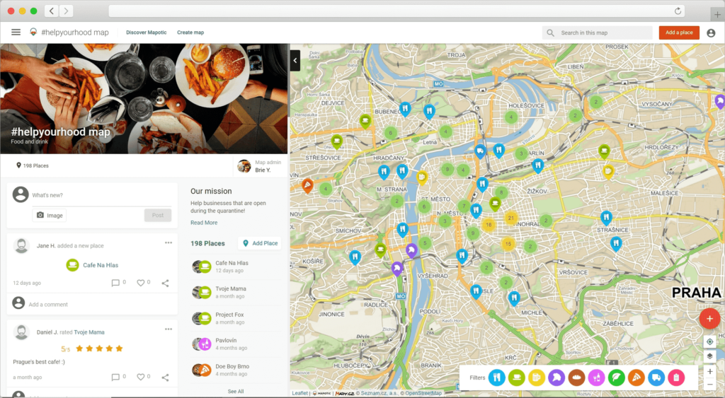
A true community map! #Helpyourhood mapped numerous bars and restaurants that are currently still providing their services amids the lockdown measures. The map is tied to a likewise named Facebook group with almost 5 thousand followers. Their goal as a support group is to offer advice and verified information regarding the current situation is the Czech Republic. The map owners created multiple categories that allows users to filter the map to find what they’re looking for.
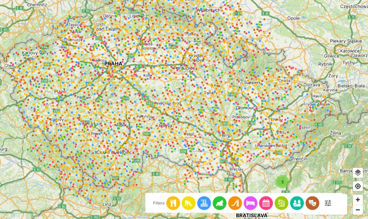
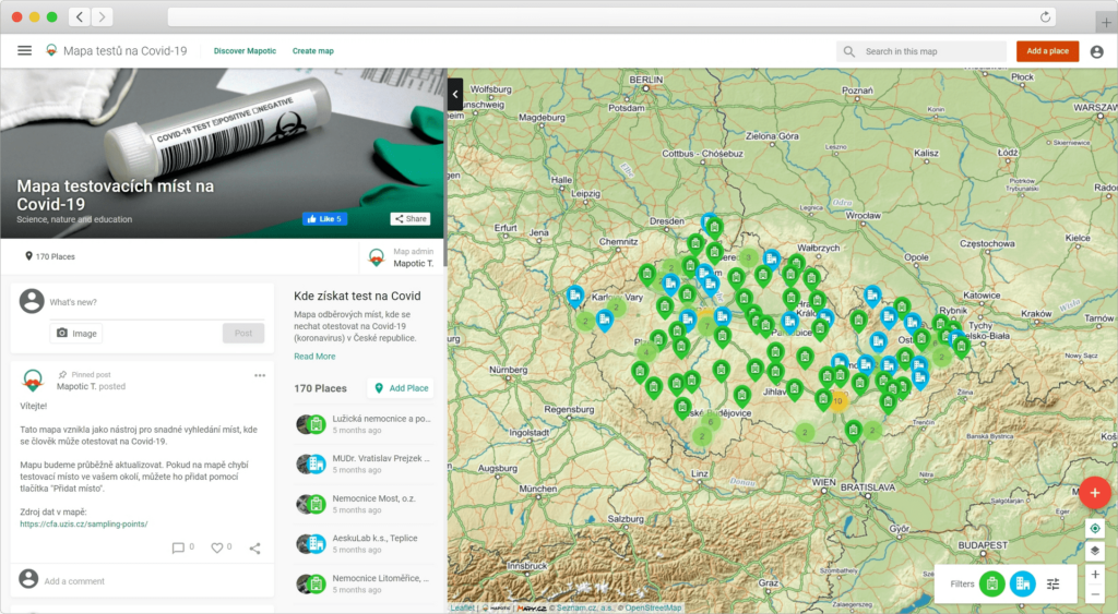
Another very useful map that was created during this pandemic covers tons of test sites in the Czech Republic. It also offered advanced filters that allowed the users to further specify the site they are looking for, eg. only test sites with a drive-in option. The map data was continuously updated to provide the accurate status of each of these test sites.
Community map MoveTheDate by Global footprint network connects sustainable projects…

Fahlo increases their sales and supports non-profits through interactive animal…

The Fandimat project used Mapotic smart maps to connect people…

Develop web or mobile tourism apps with updated, relevant datasets that inspire and offer unique experiences.

Support wildlife exploration and protection by providing wildlife tracking systems and tracker apps
Drive environmental projects with our technology, merging data visualization and technology to balance human and nature interactions.

Build social impact projects to connect those in need with helpful resources, meaningful aid & community support.
Improve quality of life in public spaces through smart city development and active citizen feedback
Bridge people with shared missions through collaborative and community centered interactions